Urbanization is the new threat the world is facing! It is one of the major challenges for both developed and developing countries in the world today. As the expansion of the human population and their settlement gets exponentially increasing over the past few years. So, what is the solution to this man-made disaster? Certainly, GIS engineers are trying to solve the ever-evolving complexity through Urban planning.
Now, let’s take a deep look at the importance of GIS in urban planning.
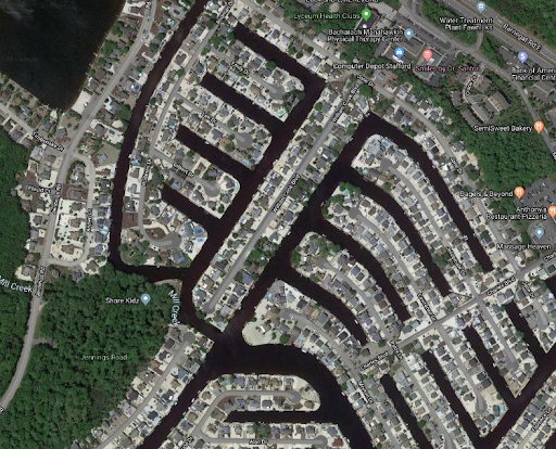
What is Urban Planning?
Urban planning is a technical and political process concerned with the development and design of land use and the built environment, including air, water, and the infrastructure passing into and out of urban areas, such as transportation, communications, and distribution networks.
Wikipedia
Geographical Information systems (GIS) is one of the fastest-growing technologies in various industries. Urban planning is made possible with the involvement of GIS technology.
GIS plays a vital role in identifying, collecting, managing and storing the spatial data. It helps in providing solutions to make decisions and appropriate actions to deal with these issues.
Collecting the Key data
GIS needs to identify and collect the existing data regarding the area of interest to visualize the resources and infrastructures. The basic key data needs to be collected are:
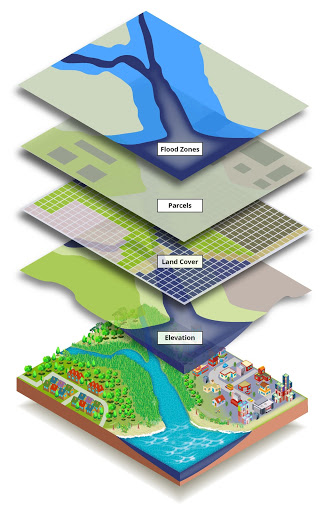
The digital base map should be combined with a planimetric layer, topographic layer, and geodetic control points. The administration map holds information about the boundaries and transportation networks. The land uses data that represents the details of the land which has been utilized for different purposes. Further, the details can be drawn on the satellite imaging and aerial photography with the help of remote sensing.
After inheriting data from multiple sources, GIS involves the spatial query and mapping functions with the collected set of multiple map layers using the overlay analysis method. After that, the following set of steps are to be made for the selection of planning options.
- Visualization
- Spatial analysis
- Spatial modeling
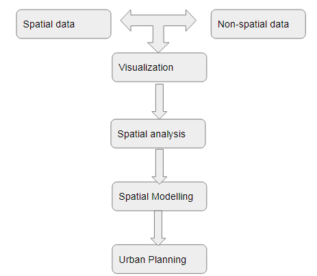
Spatial modeling is the representation of the real-world data into a three-dimensional model in which the layers can be defined in the vector or raster form.
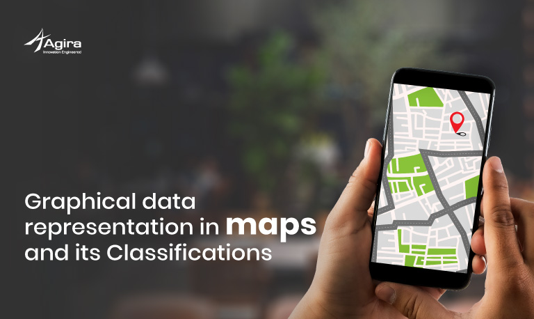
Here these three steps are used to identify the areas where the future advancements affect and the undulated regions get involved. Data visualization is used to describe the graphical representation of information from maps.
Spatial analysis and modeling can be further used for making plans and actions to build urban planning and management. These data are further effective in the future plans for industrialization and socioeconomic activities.
Conclusion
GIS technology provides real augmented visibility into data for urban planners. They estimate the feasibility and sustainability of planning by monitoring the fluctuations over time.
This blog is an overview of urban planning through GIS techniques on how the spatial models are used to analyze future population, housing, and employment growth. There is a lot to learn! If you are interested in reading more about Urban planning go to this link.
Urban planning has become a decisive action, especially in smart city development planning. The foremost analysis for various sectors such as transportation planning, food, agriculture sector, healthcare sector, telecom, and network services, environmental impact analysis, etc.,
GIS tools help professionals and administrators to analyze problems more quickly, find out solutions and induce movements toward prolonged goals for the community.
Like what this article? Share your thoughts in the comment section. Interested in Technology? Then, don’t forget to subscribe to the weekly newsletter.


